
Table of Contents
The Challenge
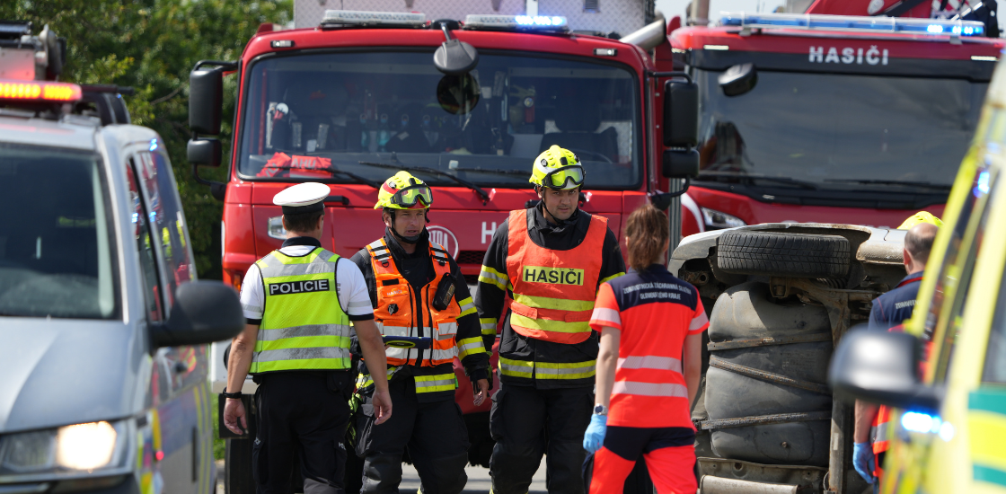
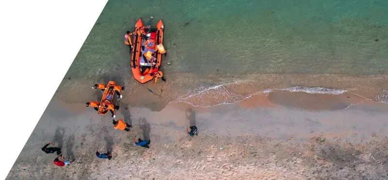
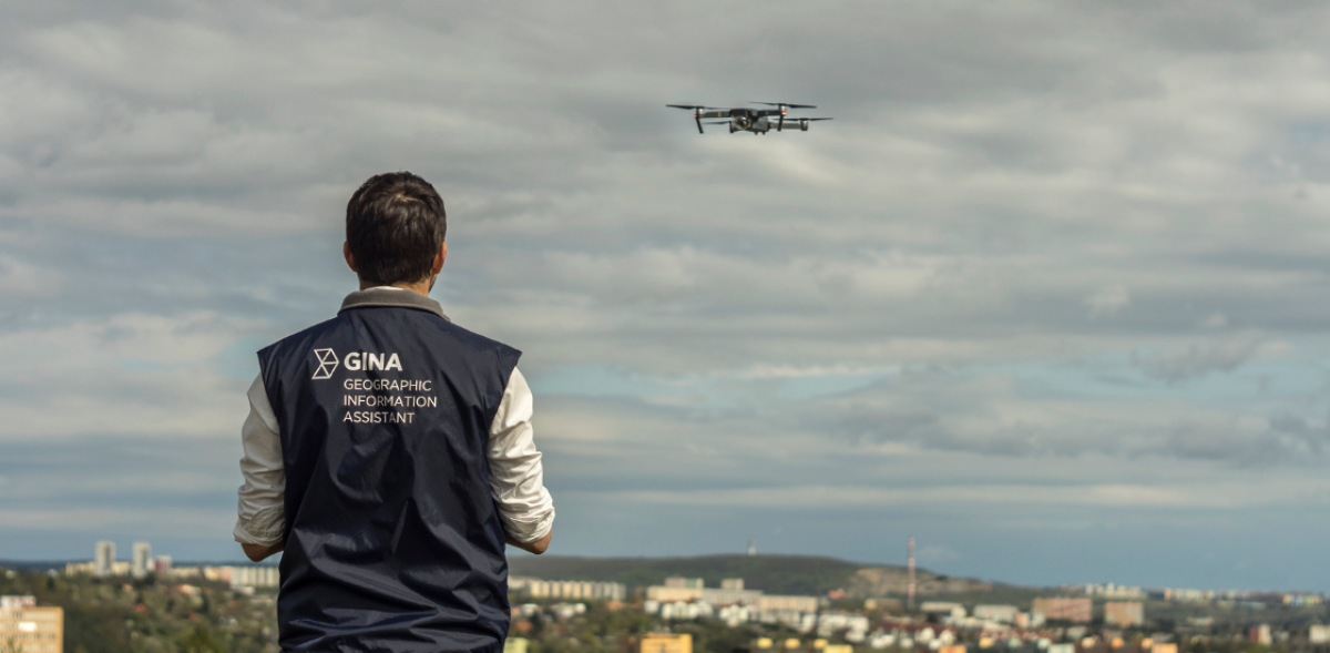
When a major incident occurs in the Czech Republic, it rarely stays within the borders of a single region, and this is where air traffic management software is increasingly needed. Units from the Integrated Rescue System (IZS) across multiple regions converge on the scene, and many of them now operate their own drones. Add helicopters or fixed-wing aircraft to the mix, and a single incident can suddenly involve a dozen or more aircraft sharing the same small stretch of sky.
This creates a serious air control problem directly above the emergency scene, and it’s exactly the kind of problem air traffic management software is built to solve. Collisions between drones, and between drones and other equipment, are a recurring risk in this environment. The root cause is simple. There is usually no one on scene whose job is to actively monitor, direct, and control what is flying where.
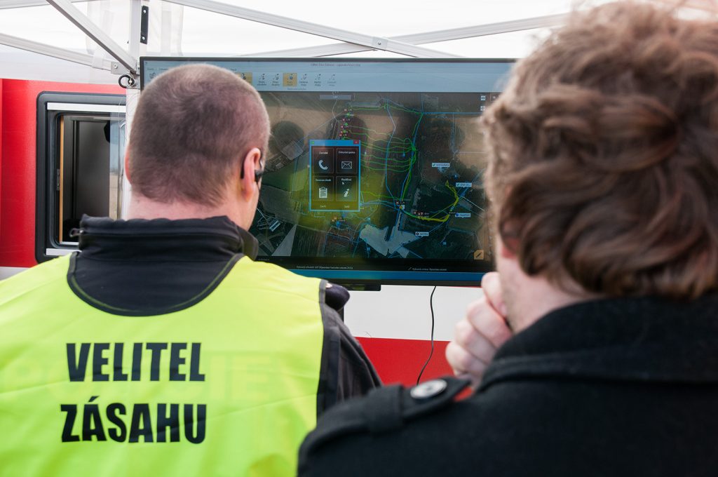
In a typical intervention, an incident commander oversees the operation and delegates authority to subordinate commanders. One of them would logically be responsible for the airspace: someone watching a map, communicating over radio with drone operators and pilots, warning them when another aircraft is nearby or a zone should be avoided. But until now, Czech IZS units had no such shared picture. Radios allowed crews to announce their intentions (“we’re flying over there”), but nobody could actually see where anyone else was in the air.
The Solution
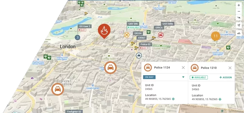
GINA Software is currently deploying a drone airspace management capability for IZS in the Czech Republic. At its core is a receiver unit installed at the incident site, picking up the position of every drone, helicopter, and aircraft in the area, no matter which agency or region it belongs to. It works the same way regardless of how many units show up or where they’re coming from, so the airspace picture stays consistent from one incident to the next.
This gives the airspace commander, and anyone else who needs it, a single unified view of everything flying over the incident.
How It Works
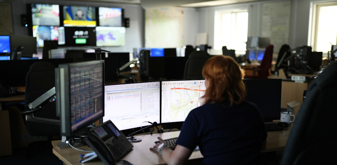
Once positions are flowing into the system, the airspace commander uses Tactical AVL to mark out sectors on the map, for example a green zone where a drone is cleared to operate, or a red zone it must stay out of. The software then takes care of conflict detection, flagging situations that could lead to a collision before they actually happen.
Zones can also carry automatic alerts. For example, the system can notify the commander the moment a drone exits its designated zone, or when an unrecognized aircraft enters a restricted one.
The Impact
The immediate benefit is safety: fewer air-to-air and air-to-ground collisions during multi-agency responses. Just as important is the reduction in cognitive load on the commander. Rather than tracking aircraft mentally, relaying warnings over a busy radio channel, or marking positions on a paper map under pressure, the commander can see the full airspace picture at a glance and manage it visually.
For a country where major incidents routinely pull in resources from several regions at once, that shared visibility, drones, helicopters, and aircraft from every responding unit shown on one map, is what turns a chaotic shared airspace into one that can actually be controlled.
Conclusion
As drones become a standard part of the emergency response toolkit, the ability to see and manage everything flying over an incident is no longer optional, it’s a basic requirement for safety. GINA Software’s air traffic management capability, built into Tactical AVL, gives IZS units exactly that: one shared picture of the airspace, no matter how many agencies or regions are on scene.
Want to see how Tactical AVL can bring this level of airspace control to your operations? Reach out to our team to learn more.