In emergency response, the hardest part of dispatching is often not deciding who to send. It is getting the right information to the people already on their way. The GINA Apps integration with Smart CAD is built to close that gap. In this article, we’ll explain what the integration does, how a typical call runs from assignment to close, and why it makes a difference in emergency response.
Table of Contents
What the GINA Apps Integration Does
GINA Apps is the mobile side of the GINA platform, made up of two applications connected to Smart CAD.
GINA Tablet, for Vehicles
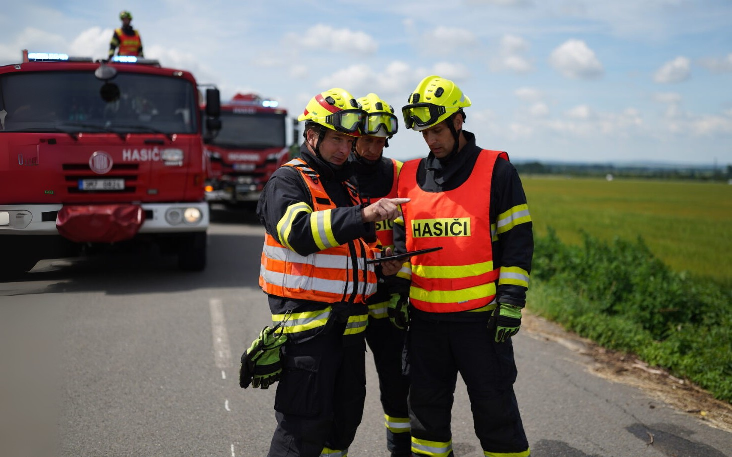
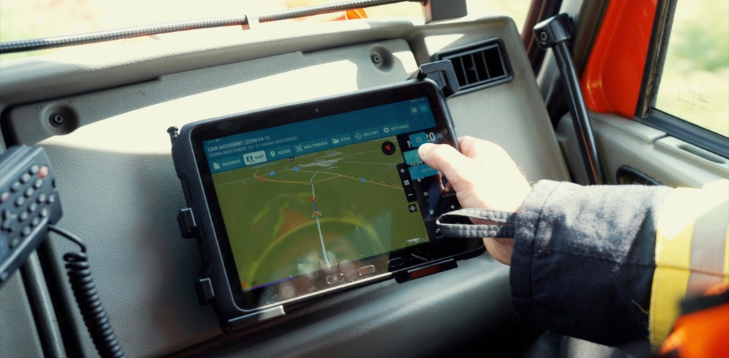
GINA Tablet is built for fire engines, ambulances, police cars and security vehicles. It runs on Android tablets, phones and rugged devices and gives the crew:
- Incident details on an event page, including urgency, address and dispatcher notes.
- Emergency navigation with full map display and routing to the incident.
- Status updates with one tap, with the history kept for the record.
- Two-way messaging with dispatch and other units, including photos, video and live streaming.
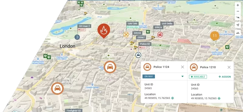
- A shared map with cooperating units and points of interest such as hydrants or access gates.
- Reference data such as procedures and HAZMAT databases.
- Offline operation, with data synced automatically when the connection returns.
GINA Mobile, for Responders on Foot
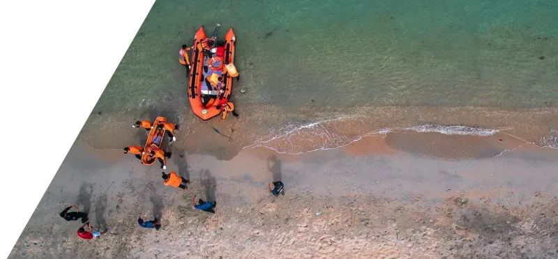
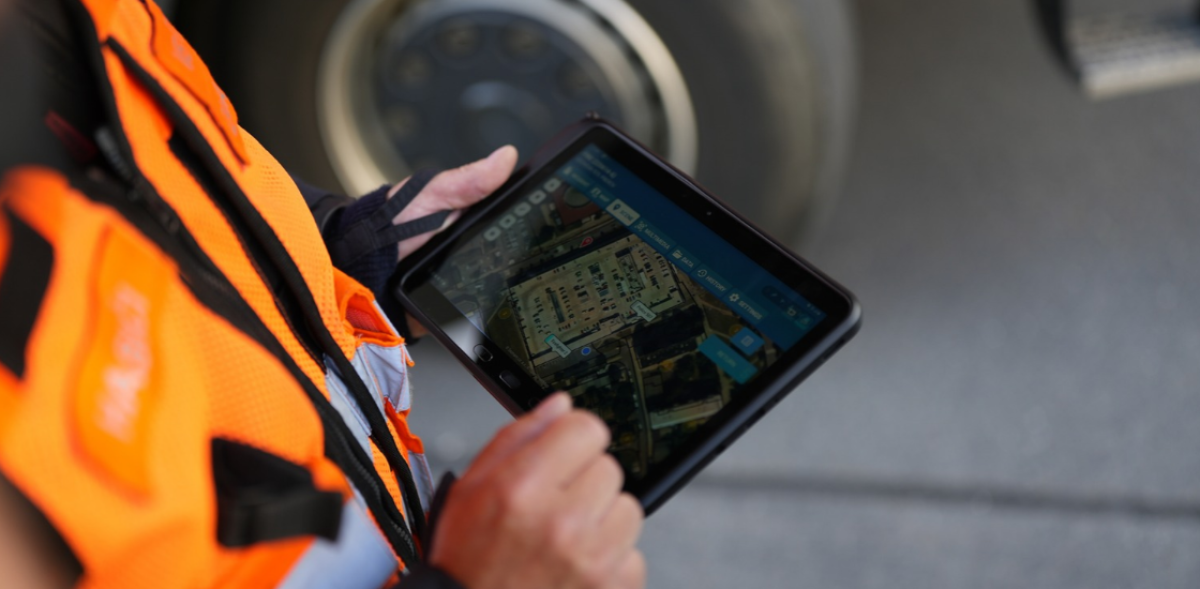
GINA Mobile is a lighter app for individual responders, volunteers and field teams who are not tied to a vehicle. It runs on Android, iOS, private LTE terminals, push-to-talk over cellular (PoC) terminals and rugged phones. Alongside messaging, media sharing and team visibility on the map, it offers optional push-to-talk, digital forms and reports, and geofencing.
How a Call Runs with Smart CAD and GINA Apps
- Assignment. The dispatcher assigns a unit in Smart CAD, and the incident appears on the crew’s tablet.
- Navigation. The driver starts emergency navigation from the incident itself, with no address to type.
- Status. The crew taps en route and on scene, and the change shows in Smart CAD straight away.
- Updates both ways. The dispatcher passes on new information from the caller; the crew sends back photos, video or a short message.
- On scene. The crew sees other units, points of interest, whiteboard sketches and reference data on the same map as dispatch.
- Close. The incident is closed and the event record is archived for debriefs and review.
An Example
At 02:15, a caller reports smoke on the third floor of an apartment building with two entrances and a courtyard. The engine crew sees the address and the caller’s notes on the tablet as the alarm sounds, and the driver starts navigation with one tap. On the way, the dispatcher adds that people are visible on a courtyard-side balcony and marks the nearest hydrant on the map. The officer sees the second engine and the ambulance approaching and sends a short message to set the staging point. When the crew taps on scene, dispatch knows without asking, and the radio stays clear for the moments that need it.
Why it Matters in Emergency Response
Response performance is measured in seconds. In the United States, the NFPA standard for career fire departments sets a turnout time of 80 seconds for fire calls and 60 seconds for EMS calls, and a travel time of four minutes for the first engine to arrive (IAFF summary of NFPA 1710). Every second a crew spends confirming an address or working out a route makes those targets harder to meet.
| Radio only | Smart CAD with GINA Apps | |
| Getting the address | Read out, repeated back, typed into navigation | On the tablet at assignment, navigation in one tap |
| Unit status | A radio call for every change | One tap, visible in Smart CAD immediately |
| New information on the way | Another radio call, if the channel is free | Messages, photos and map markers sent to the crew |
| Picture of the scene | What the crew can hear and remember | Same map as dispatch, with other units and points of interest |
| Weak coverage | Depends on radio coverage | Keeps working offline, syncs on reconnect |
| Record of the incident | Radio logs and notes | Status history and event records archived |
In practice, this means:
- Faster departures, because crews do not wait for or retype addresses.
- Fewer errors, because the location comes from Smart CAD rather than from a voice message.
- Clearer radio channels, because routine updates travel as data. Read more about emergency communication in multi-agency response.
- Better dispatch decisions, because unit status is always current.
- Safer arrivals, because crews know about hazards, access routes and other units before they get there.
- Security, with data sent over TLS and AES 256-bit encryption, under ISO 27001 compliant processes.
Because GINA Apps run on standard Android and iOS devices, agencies can equip every vehicle and every team leader rather than only the few with installed in-vehicle computers. GINA Apps can also be integrated with other CAD systems, although the most complete workflow comes from running them with Smart CAD.
Part of a Connected Platform
GINA Apps is one of several integrations that feed the same incident picture in Smart CAD. Live vehicle positions come through Tactical AVL, and video from cameras and drones can be opened from the same map. Together, they give dispatchers and crews one shared view of what is happening and who is responding.
Want to see how an assignment travels from Smart CAD to a crew’s tablet? Request a demo and talk to our team.