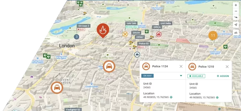


Respond fast. Save lives.
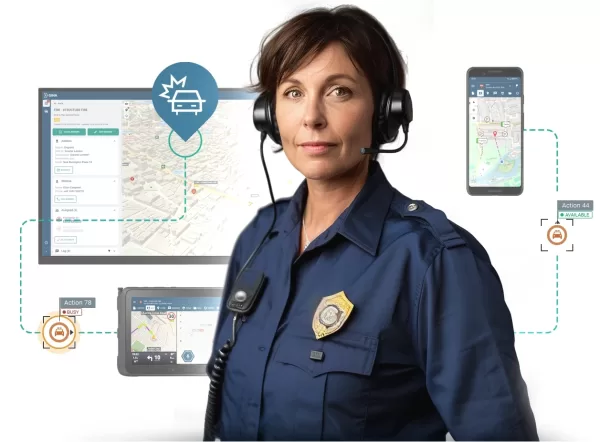
With GINA’s dispatching, navigation and situational awareness systems, you won’t lose a second.

Trusted by lifesavers




















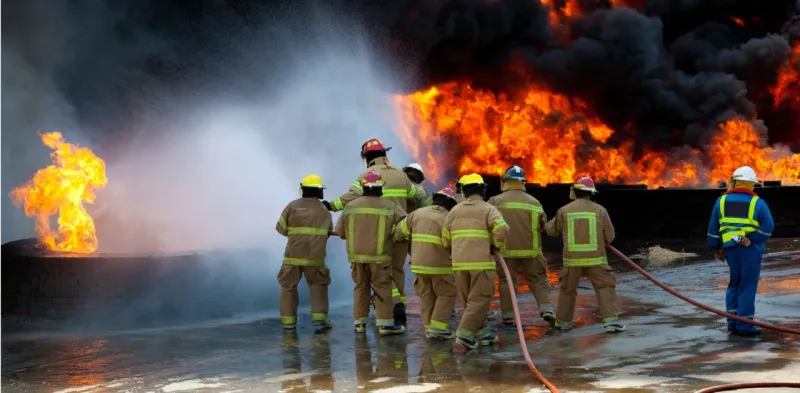
Fire Dispatch Software
Equip fire and rescue teams with interactive GIS mapping and live CCTV integration for full situational awareness before arrival. Native mobile applications enable responders to share video, messaging, and location data directly from the field.

Next Generation Police CAD
Provide officers with tactical field tools, including live video streaming, secure messaging, and shared mapping for coordinated response. All incident details are automatically logged to support investigations, reporting, and compliance requirements.
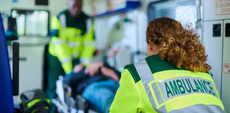
Ambulance Dispatch Software
Automatically recommend the optimal ambulance for every call based on proximity, availability, and medical need. Structured call-taking questionnaires guide dispatch personnel to the appropriate response plan for every call.
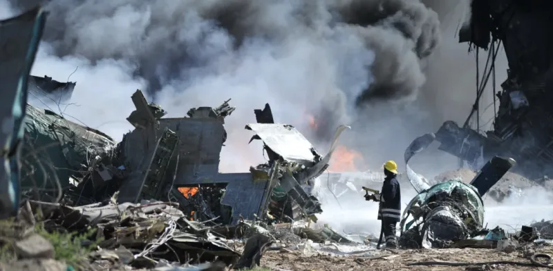
Disaster Response Software
Leverage AI-processed satellite imagery to identify fires, floods, and landslides within minutes of onset. Monitor hazard progression over time and direct field teams using real-time alerts and safe-route guidance.
See Why Your Peers choose GINA
Since 2010, GINA has assisted public safety agencies, armed forces, private security services, rescue teams, and non-profit organizations in handling hazardous situations and day-to-day operations.
Sygic
Partnering with solution providers, such as GINA, who create products that truly answer the needs of people and communities has been pretty amazing. Seeing how technology makes a difference in the real world is why we do what we do. And the results speak for themselves.

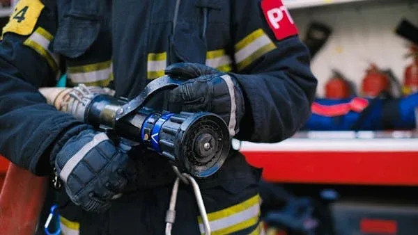
Fire Rescue Service of the Czech Republic
GINA significantly improves the efficiency of both routine and special operations, reduces arrival time, provides real-time information support, and increases the level of cooperation among all responding units. Thanks to technology we can react flexibly to altering situations in the field.
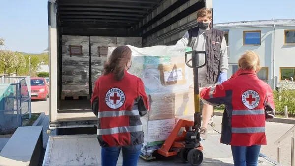
Czech Red Cross
Many of our members are volunteers who go out from their homes to the scene. At a time like this, it’s great to have an app that lets you see on a map how people are converging on the scene. You can then coordinate much better, for example, by talking to drivers.


GM Risk Group
We have been working with GINA for a few years now and have found the software solutions to be a functional tool for our teams on the ground, plus a value add to our clients through our increased service capabilities. GINA provides our team and clients with high-level situational awareness by allowing us to tailor how we integrate, manage and share intelligence that is relevant to our teams and task objectives.

Alpha 6 Canada
I was looking for a solution that would handle tracking as well as incident command and I found that in GINA. We can send messages, set up geofences, track our assets and it has good app that goes with it for the smartphone for our clients. GINA provides a lot of things for us. It brings a lot of things together – the tracking, the messaging and then the reporting.
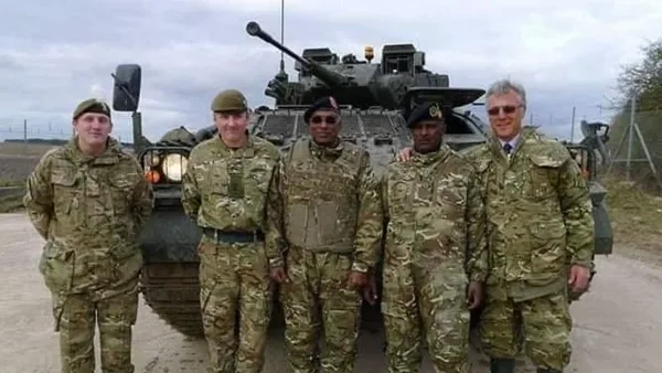

G2S Group
GINA has been our partner for the past two years in creating and implementing new and tailored systems for our Security company. We are also a business partner for them in the Horn of Africa region as both Facilitator and Reseller for GINA Software in Public Safety, Defense and Security, and Oil and Gas. They are reliable, thorough, smart, available, excellent communicators, and friendly! As a Partner of GINA’s solutions, we’ve obtained a broad positive reception, and allows us to meet the clients’ requirements successfully.
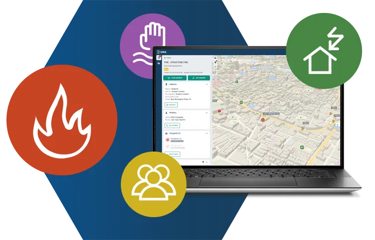
Explore our core products
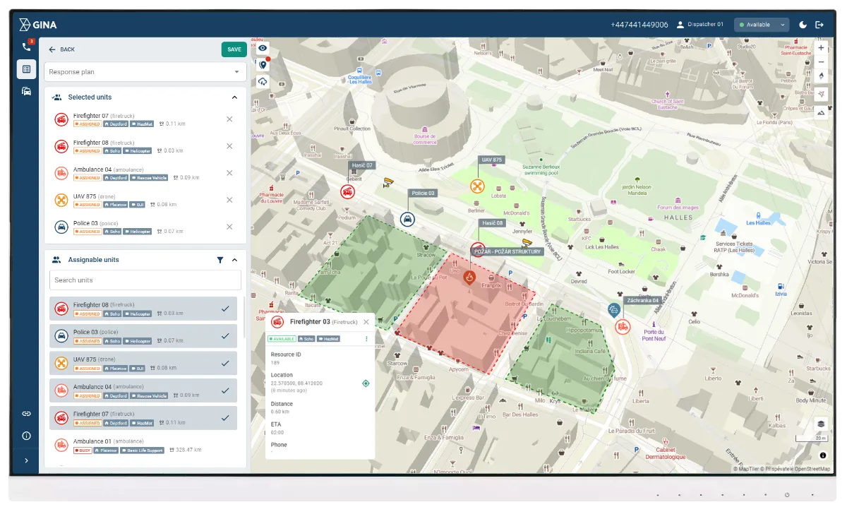
Smart CAD
Increase your operational efficiency with intuitive computer-aided dispatch software that accelerates dispatching and enhances incident management.
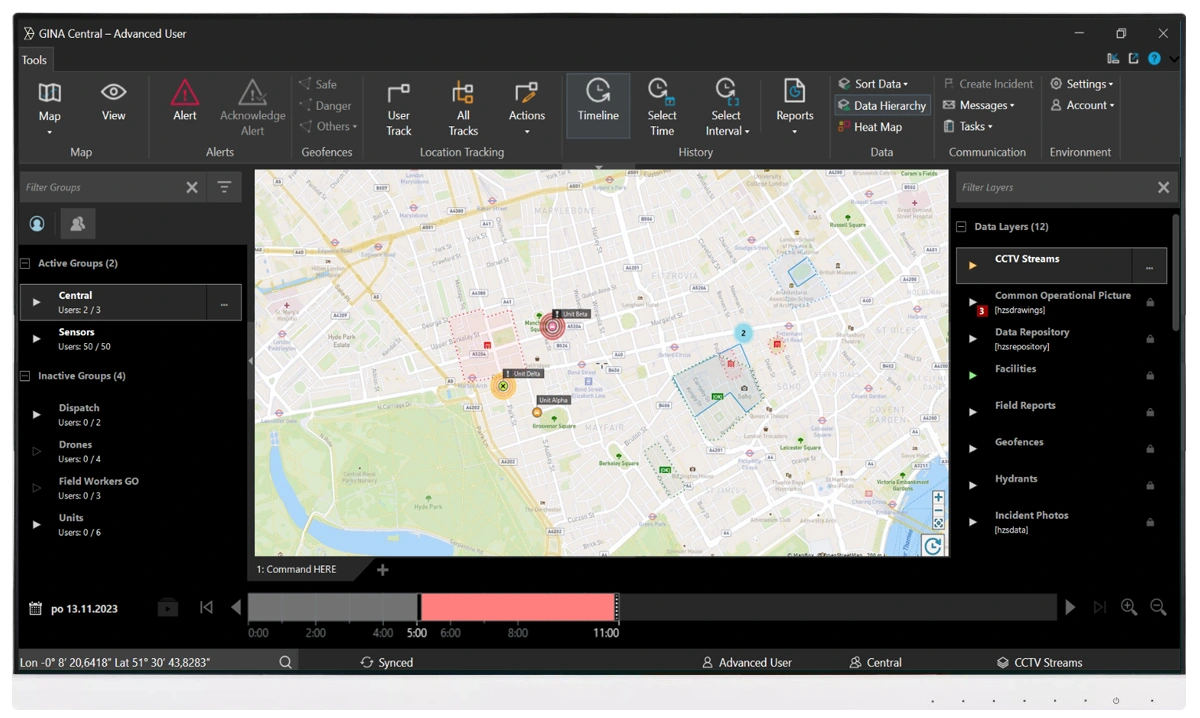
Tactical AVL
Leverage modern automatic vehicle location system for faster response and smarter unit coordination with full situational awareness.
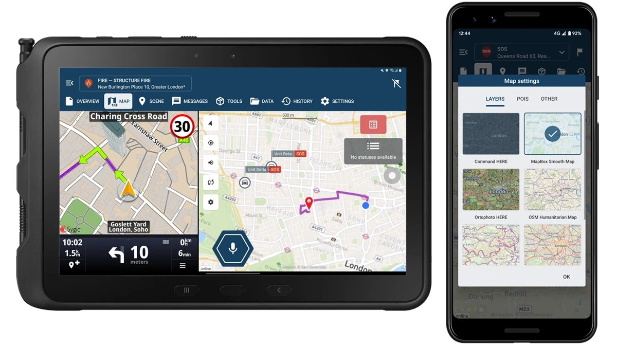
GINA Apps
GINA Tablet and GINA Mobile apps deliver situational awareness and emergency response capabilities integrated in custom-built solutions by our integration partners.
Why GINA Software?


