


2026-04-22
Learn more
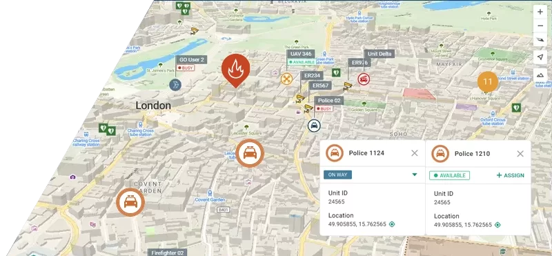
What Is Hexagon Octave and What You Should Know
If you have been evaluating emergency dispatch or CAD software recently, you may have noticed the Hexagon name starting to disappear. From product pages to...