

Traffic Management System
Create a clear, coordinated path for emergency vehicles with Smart CAD and Herman, combining real-time route planning and traffic light preparation for faster, safer response.
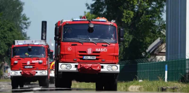
Trusted by first responders


Why GINA Software?


Key factors behind smooth emergency response
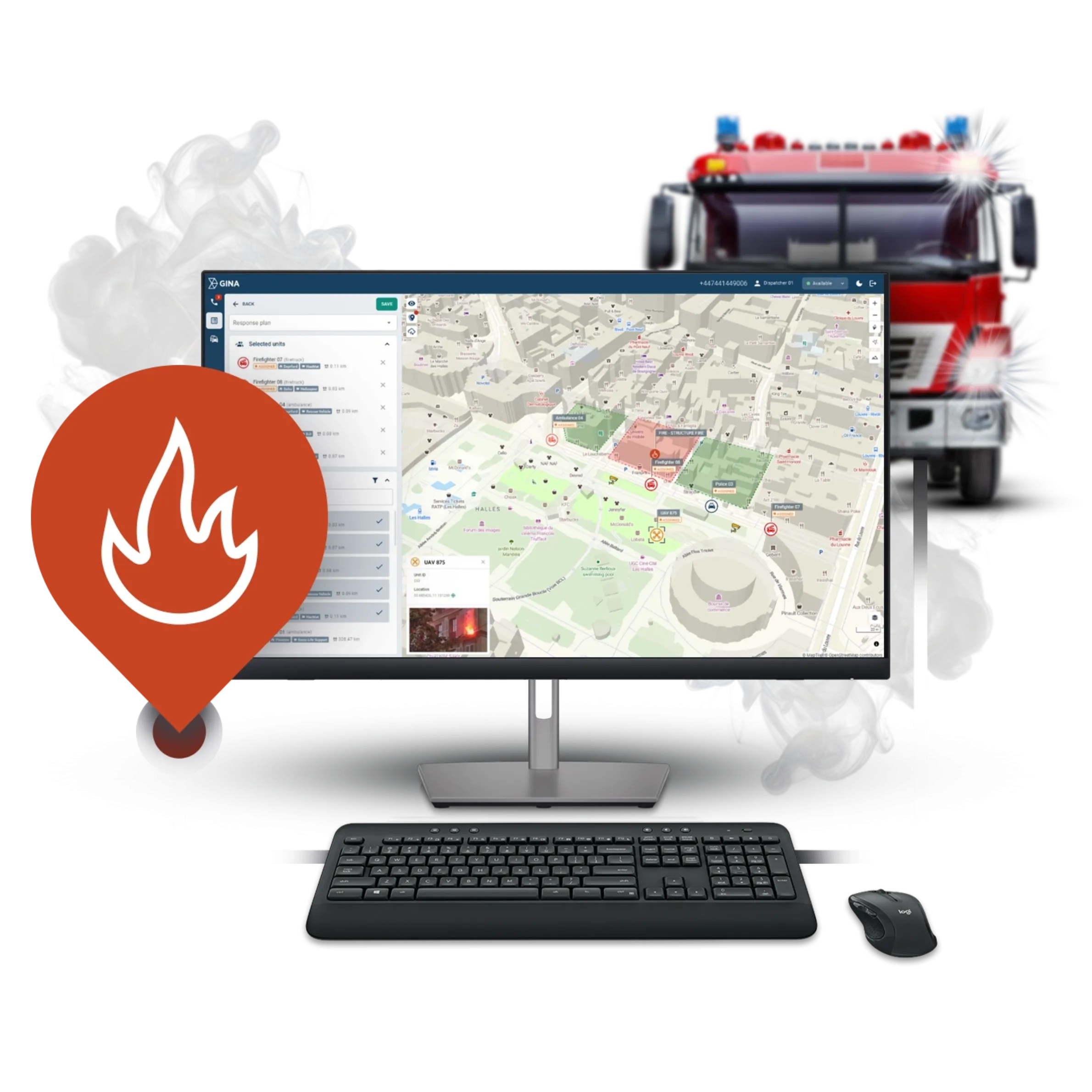
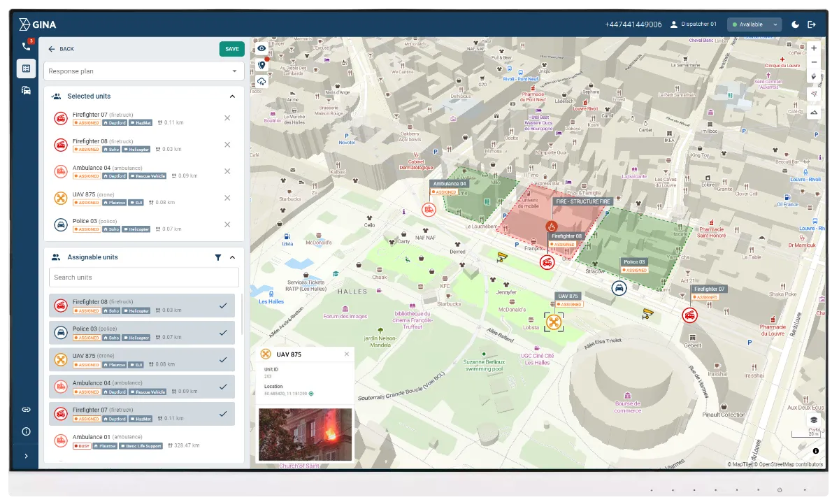
Precise route-based priority
Smart CAD automatically recommends an optimal route the moment an incident is created. Herman evaluates this planned path and prepares priority only at intersections the vehicle will truly pass. This ensures responders get priority exactly where it helps, keeping the response fast and coordinated.
Smoother, safer vehicle movement
The GINA Tablet updates routes instantly when conditions change, and Herman prepares intersections before the vehicle arrives. Drivers avoid sudden braking or unclear signals and can concentrate fully on safe driving while the system manages the surroundings in the background.
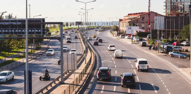
Minimal impact on public traffic
Priority is applied only where it truly helps the responding unit. This approach keeps everyday traffic moving, reduces unnecessary congestion, and still provides responders with the support they need. Even during busy periods, the flow of the city remains steady and predictable.
See why your peers choose Smart CAD
Sygic
Partnering with solution providers, such as GINA, who create products that truly answer the needs of people and communities has been pretty amazing. Seeing how technology makes a difference in the real world is why we do what we do. And the results speak for themselves.

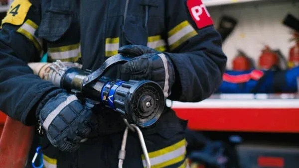
Fire Rescue Service of the Czech Republic
GINA significantly improves the efficiency of both routine and special operations, reduces arrival time, provides real-time information support, and increases the level of cooperation among all responding units. Thanks to technology we can react flexibly to altering situations in the field.
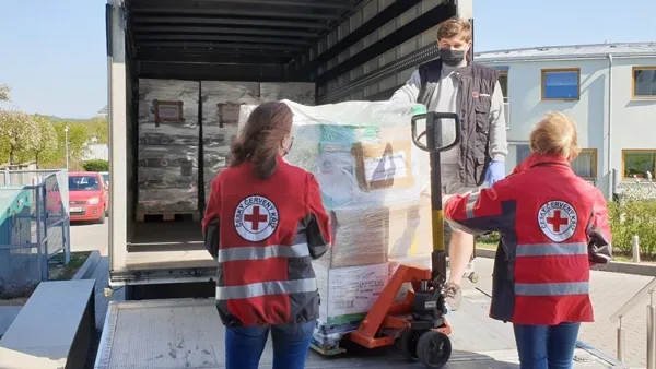
Czech Red Cross
Many of our members are volunteers who go out from their homes to the scene. At a time like this, it’s great to have an app that lets you see on a map how people are converging on the scene. You can then coordinate much better, for example, by talking to drivers.

GM Risk Group
We have been working with GINA for a few years now and have found the software solutions to be a functional tool for our teams on the ground, plus a value add to our clients through our increased service capabilities. GINA provides our team and clients with high-level situational awareness by allowing us to tailor how we integrate, manage and share intelligence that is relevant to our teams and task objectives.

Alpha 6 Canada
I was looking for a solution that would handle tracking as well as incident command and I found that in GINA. We can send messages, set up geofences, track our assets and it has good app that goes with it for the smartphone for our clients. GINA provides a lot of things for us. It brings a lot of things together – the tracking, the messaging and then the reporting.
G2S Group
GINA has been our partner for the past two years in creating and implementing new and tailored systems for our Security company. We are also a business partner for them in the Horn of Africa region as both Facilitator and Reseller for GINA Software in Public Safety, Defense and Security, and Oil and Gas. They are reliable, thorough, smart, available, excellent communicators, and friendly! As a Partner of GINA’s solutions, we’ve obtained a broad positive reception, and allows us to meet the clients’ requirements successfully.
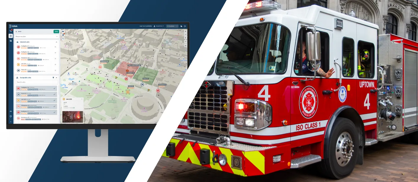
Smart mobility that supports emergency missions
The integration of GINA Software and Herman improves coordination across dispatchers, vehicle crews, and city traffic teams. Each feature supports shorter response times, smoother operations, and stronger overall safety.
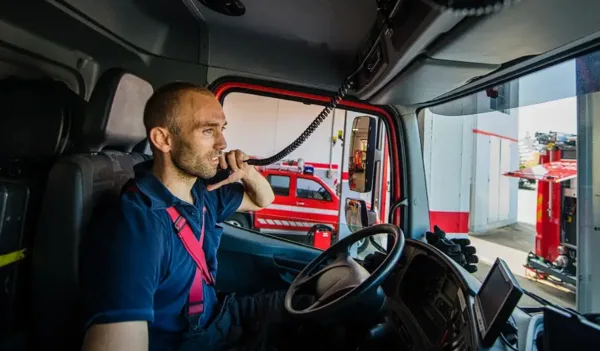
Seamless integration
Smart CAD and Herman work together as a unified system, keeping dispatch, routing, and traffic preparation connected at every step. Information flows automatically between both platforms, so teams operate with consistent, accurate data without additional manual coordination.
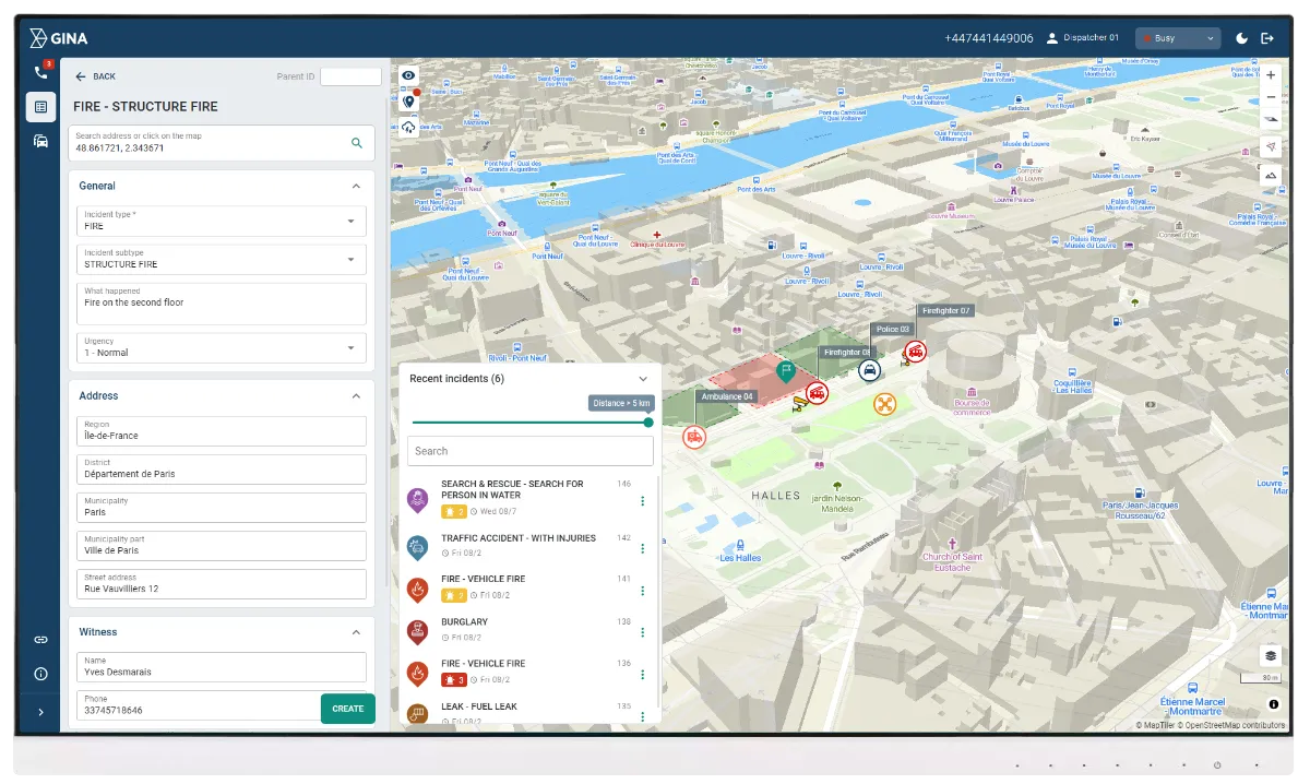
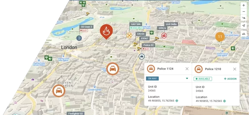
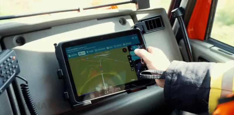
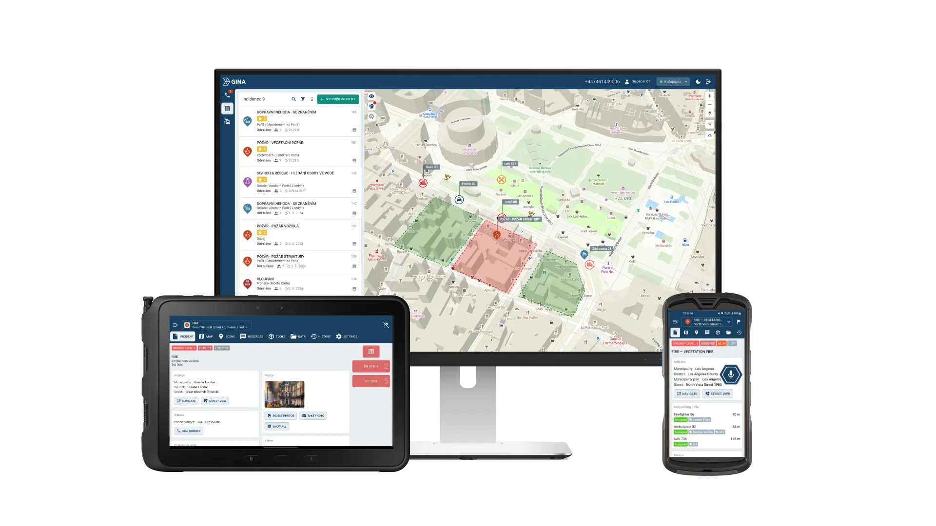
Live incident view
Responders work with a single interface that shows incident details, navigation, and expected timing. They see how the route unfolds ahead, and the traffic system prepares intersections accordingly, helping crews anticipate movement through busy areas.
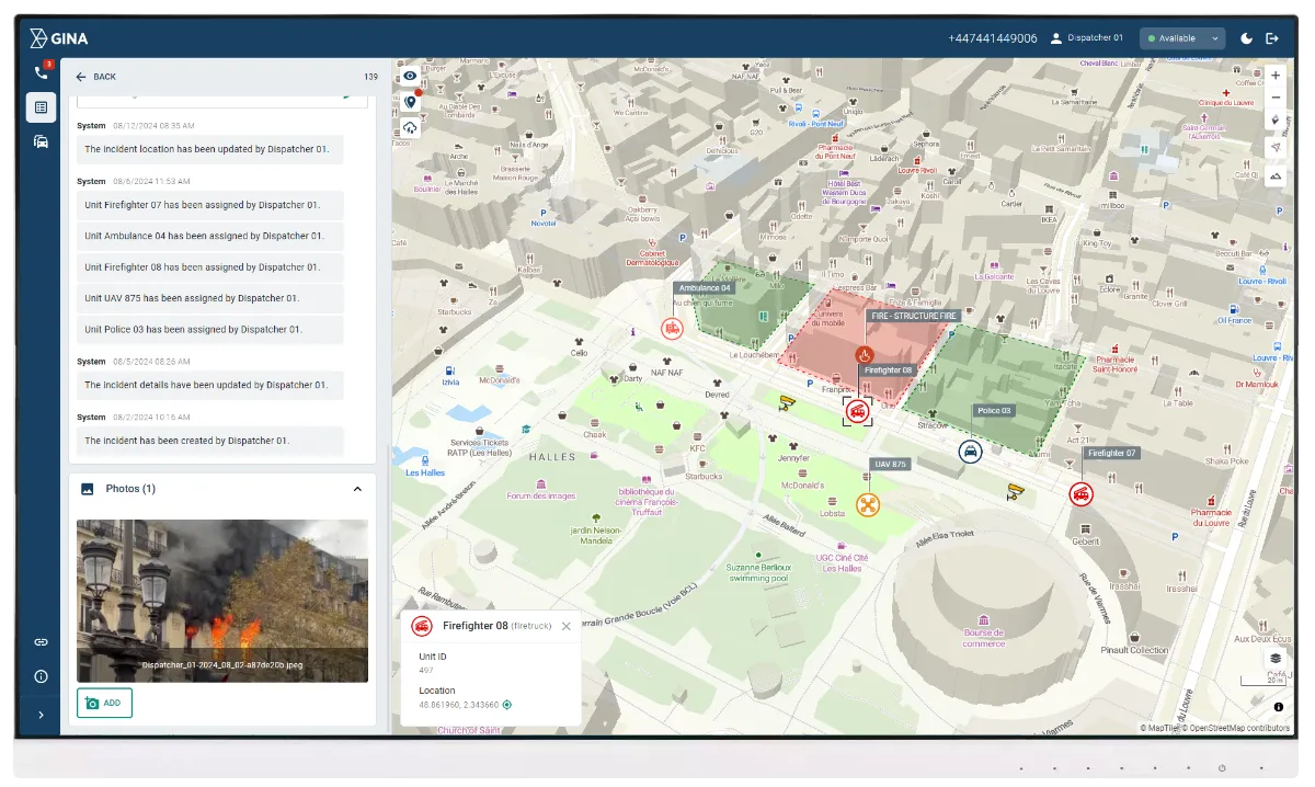
Real-time updates
Routes adjust the moment conditions shift, whether due to traffic, closures, or a change of destination. Priority at intersections adapts with each update, keeping the response synchronized with real movement on the ground.
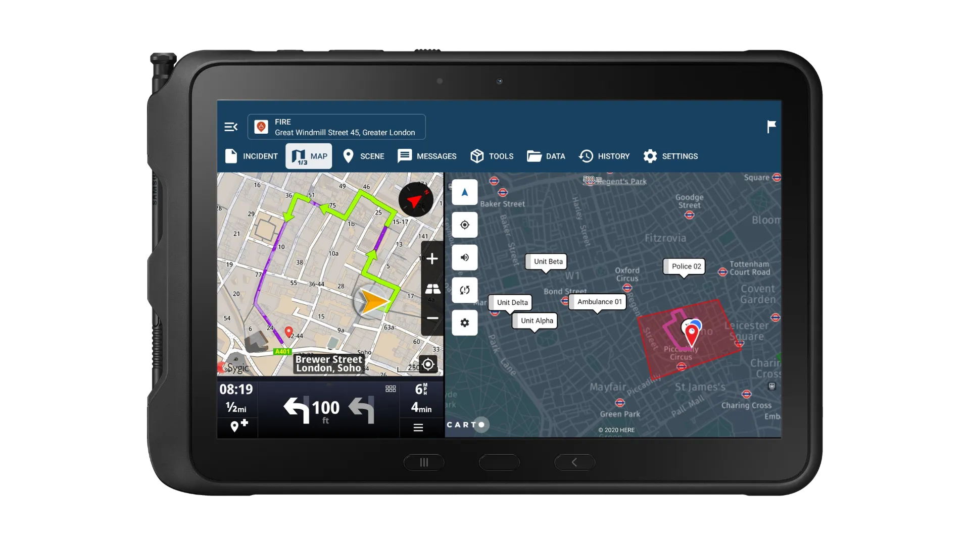
Mobile apps
Drivers use the GINA Tablet for precise navigation and live route guidance. The app reacts instantly to traffic or route changes and supports safe driving with simple, focused visuals.
Seamless coordination
All teams work from the same accurate, real-time data. Dispatchers, responders, and traffic operators stay aligned throughout the incident, which reduces misunderstandings and keeps the entire response moving smoothly from start to finish.
Using targeted priority to improve urban response times
Testing in Třebíč showed that the integration helped emergency vehicles move more smoothly through busy areas because intersections were prepared ahead of time. Priority was used only where it genuinely improved the response, which kept everyday traffic moving and supported safer operations across the city.