Fire Dispatch Software

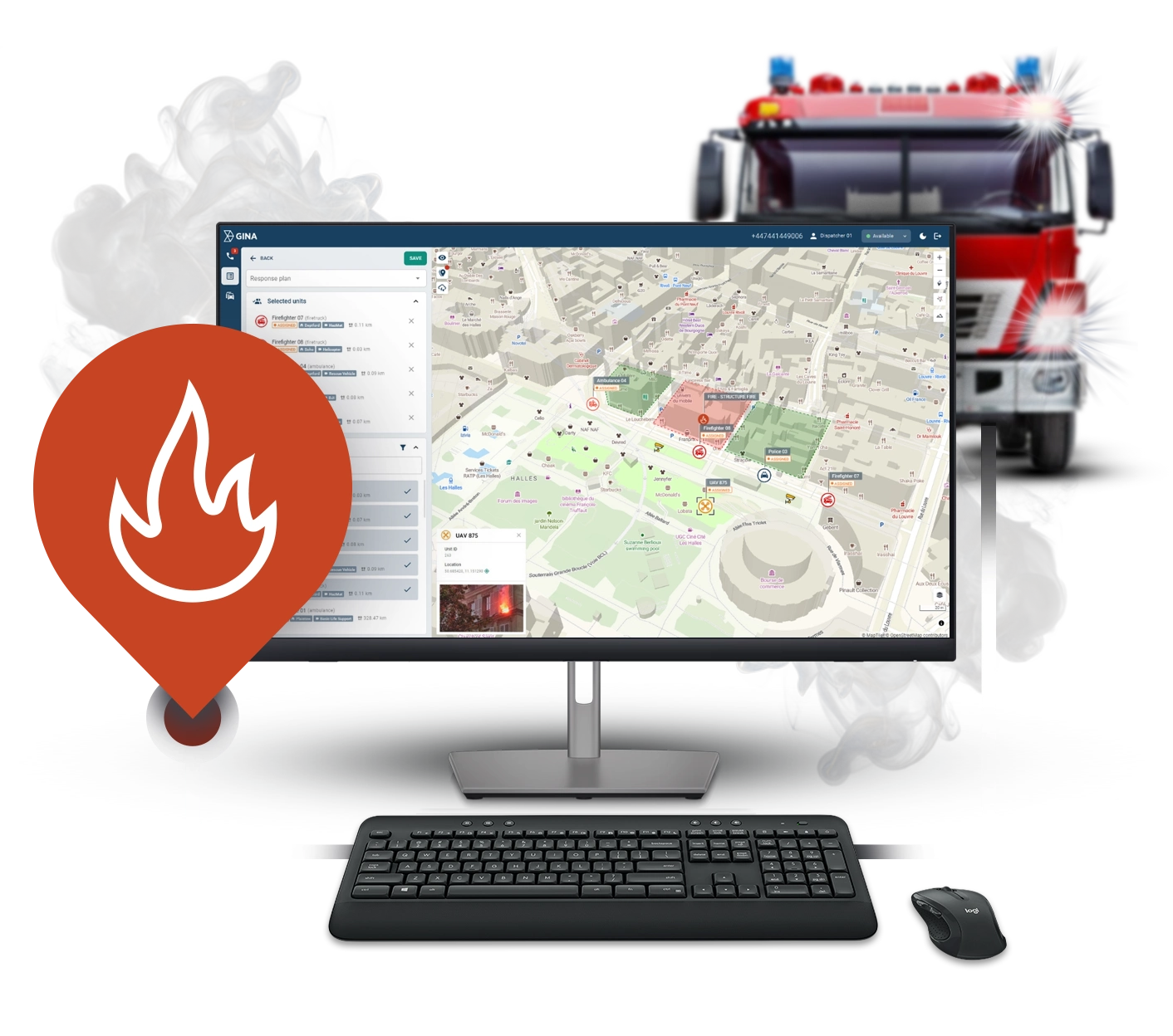
Smart CAD is an intelligent call-handling and computer aided dispatch (CAD) software designed to enhance the incident response capabilities of fire and rescue services.
Trusted by first responders
Why GINA Software?
Designed for Efficiency
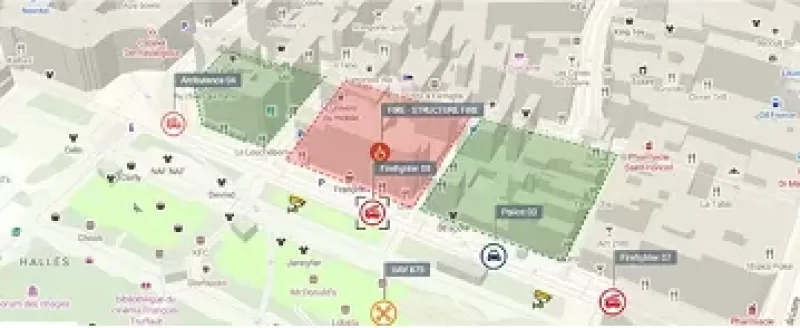
Faster, smarter dispatch
Simplify call-taking and automate unit dispatching. Smart CAD allows you to decrease your response time through a modern, visual, and user-friendly interface.
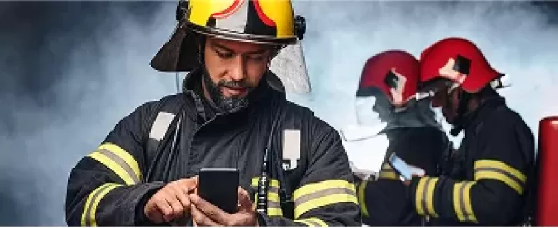
Real-time situational awareness
Share and access information anytime, anywhere. Enable your team to communicate in real-time. Gain instant awareness with real-time unit location tracking, unit statuses, live CCTV stream integration, and native mobile apps.
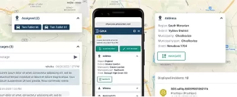
Easier incident reporting
Save time on incident documentation. Smart CAD reduces manual work, keep communication from all units in a detailed log and ensures comprehensive record for future reference and evidence.
See Why Your Peers choose GINA
All-in-one intelligent fire dispatch software
Smart CAD is an intelligent computer-aided dispatch solution that empowers fire departments to transform their incident management with a fully digital, modern mapping and information-sharing experience.
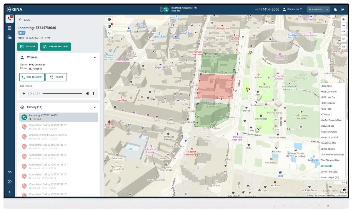
Streamline call taking
Simplify emergency call handling and assignment of first responders via modern, web-based interface. GINA allows you to modernize your fire department dispatching workflow, automate routine tasks, and ultimately increase incident management speed and precision.
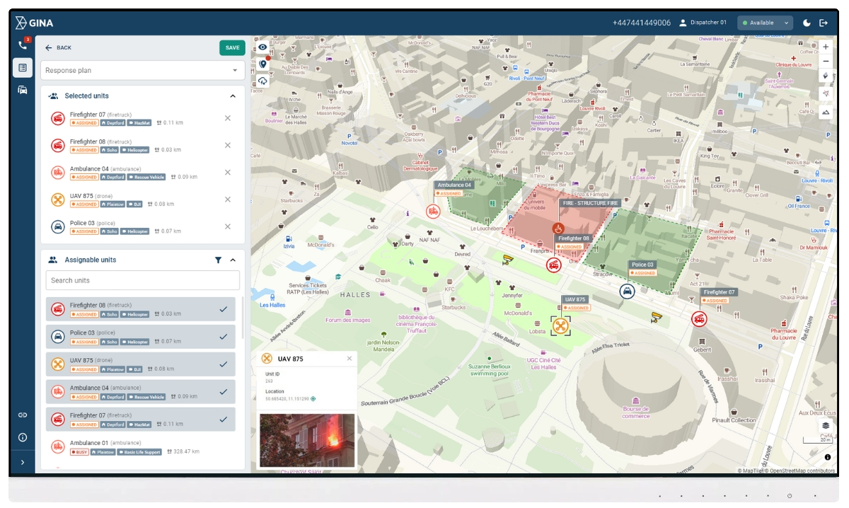
Efficiently dispatch firefighters
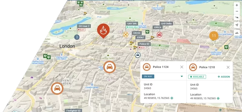
Select and deploy units swiftly by availability and distance for the quickest emergency response. Use real-time, map-centric units location tracking and gain instant visual awareness with live CCTV stream integration, unit positions and unit statuses.
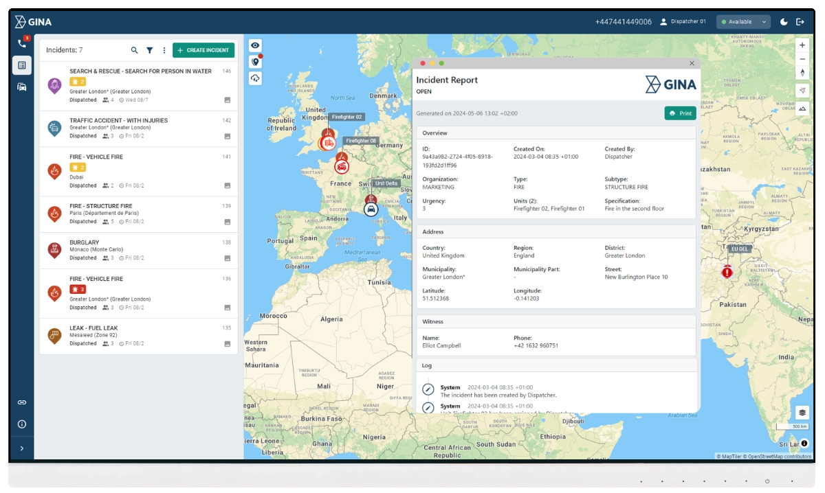
Fire department reporting
With GINA, there’s no need for third-party fire department reporting software. Smart CAD maintains a comprehensive incident log, including all communications, to support your records, investigations, and reporting needs. Avoid errors, enjoy automated data pulls and centralized data storage, all within a single platform.
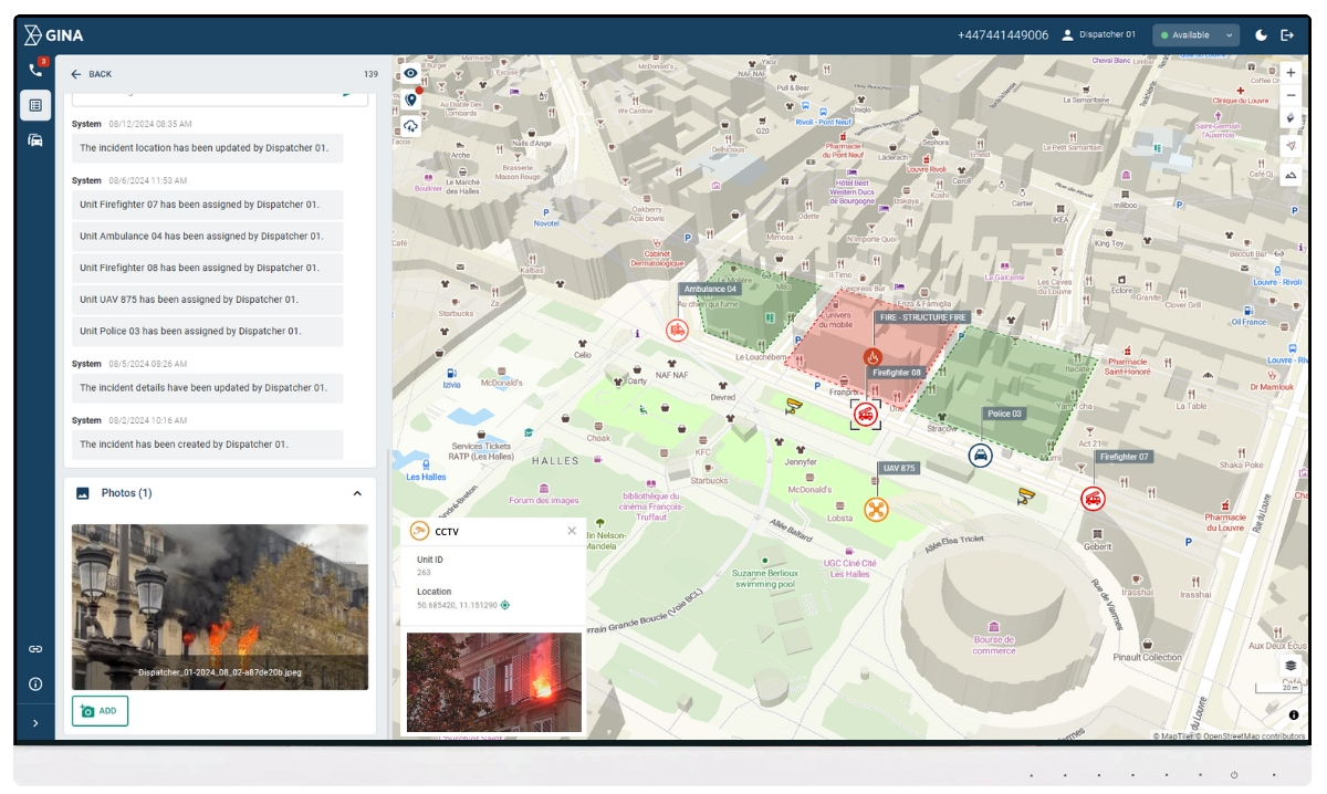
Integrate seamlessly
Stay ahead of the game with an easily integrable platform. Smart CAD’s extensive integration capabilities include major radio manufacturers, CCTV, satellite and GSM trackers, sensors, IoT, wearables, bodyworn cameras, and more.
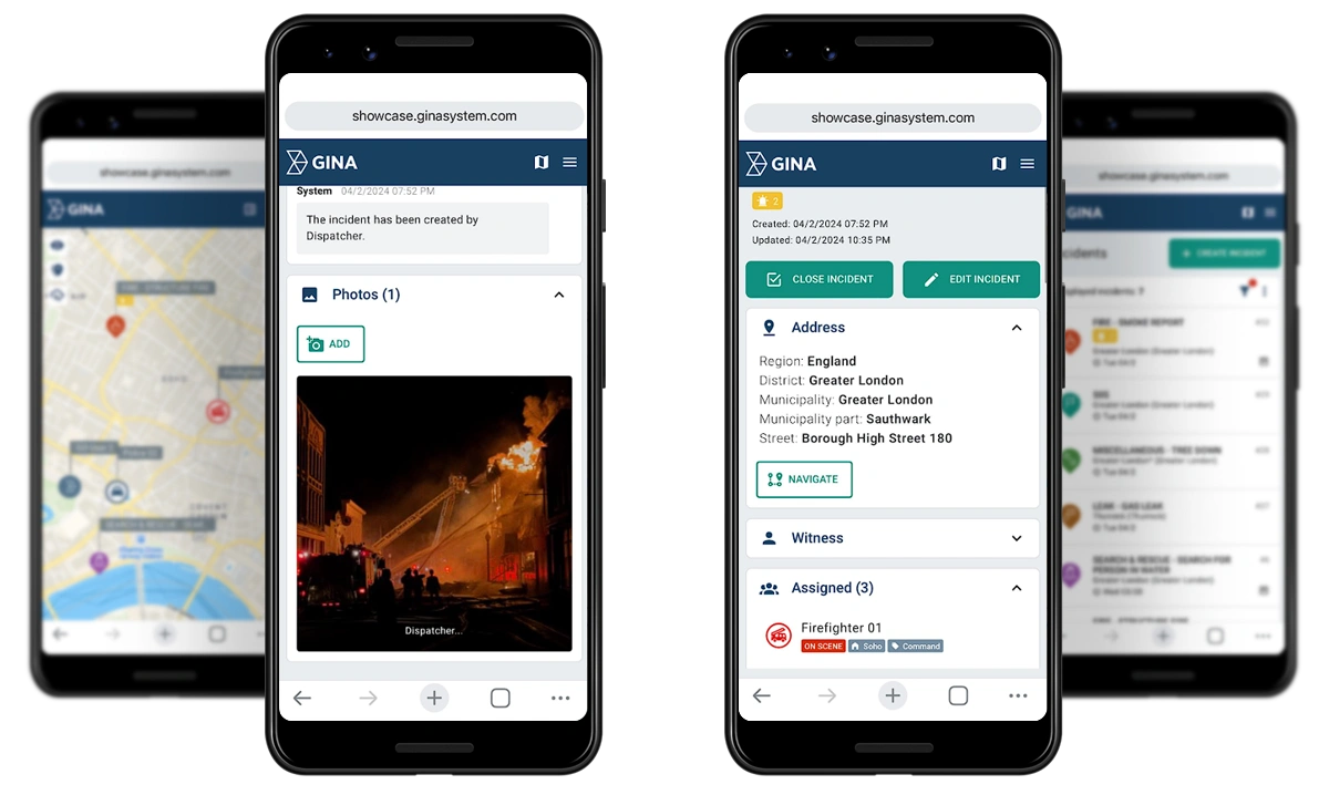
Go mobile
Equip first responders with native GINA mobile apps designed to improve communication, coordination, and situational awareness. Benefit from features such as real-time mapping, location tracking, live data transfer, tactical whiteboarding, secure messaging, and live video streaming.
Track locations precisely
With integrated GPS tracking and interactive GIS mapping, dispatchers can visualize unit locations, incident sites, and key landmarks in real-time, ensuring better coordination and response to the incident. Smart CAD supports various monitoring options including radios, trackers, and its own native apps.
An African fire and rescue service speeds up incident response with Smart CAD
Safeguarding a community of over 1 million people, the fire and rescue service has addressed fundamental emergency management challenges and enhanced response efficiency with Smart CAD.
